Lightning identified as cause of Long 2 wildfire in the BWCAW, growth slow
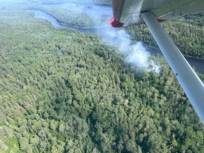
A wildfire in the Boundary Waters Canoe Area Wilderness that was detected during a routine fire patrol flight on Thursday was determined to have been caused by lightning, Superior National Forest officials announced Friday.
The Long 2 wildfire is located south of Pine Lake in the Boundary Waters and is west of McFarland Lake towards the end of the Arrowhead Trail in Cook County.
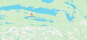
Location of Long 2 wildfire within the BWCAW near the end of the Arrowhead Trail | Graphic by Watch Duty
As of Friday, the wildfire is approximately 1.3 acres.
Firefighters were flown in by a Forest Service Beaver aircraft on Friday morning to begin direct suppression efforts. The fire is smoldering and creeping in pine needle litter and brush, fire officials said.
“The fire has been determined to be lightning-caused by recent thunderstorm activity earlier in the week,” officials with the Superior National Forest said.
Suppression efforts will continue over the holiday weekend with firefighters establishing a safe access route from the lakeshore to the fire area. A water pump site has also been established and a hose line set up to deliver water to the fire’s edge.
Superior National Forest officials said firefighters are using natural barriers, such as the lakeshore, as fire control lines. Aircraft are available to provide water drops if needed.
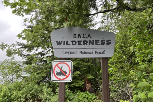
There are currently no closures in the BWCAW. Superior National Forest officials said the firefighters will continue to monitor conditions and ask that the public stay out of the fire area for safety purposes.
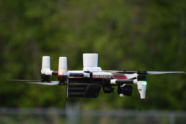
Unauthorized unmanned aircraft system (UAS) flights threaten firefighter safety and wildland fire suppression efforts and are NOT allowed near the fire area and are illegal in federally designated wilderness areas.
Kalli Hawkins July 3, 2026