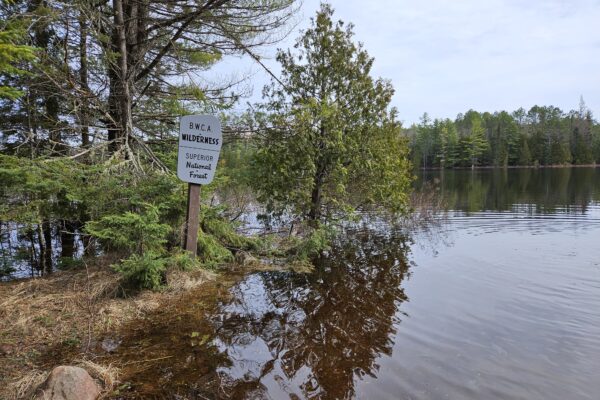
Baseball sized hail and high winds expected this evening across the BWCA and Cook County
Later this afternoon, scattered showers and severe thunderstorms with the potential to form large hail are expected across much of Cook County and the Boundary Waters Canoe Area Wilderness (BWCAW).
The National Weather Service released a hazardous weather outlook for portions of northeast Minnesota beginning at 3 p.m. on Wednesday, June 12.
“Numerous severe thunderstorms are possible with a risk level of 3 of 5,” the National Weather Service hazardous weather outlook states.
The severe storm can produce large hail up to 3 inches in diameter.
“Roughly the size of baseballs,” the National Weather Service states. In addition, the hazardous weather outlook calls for the potential of “a tornado or two are also possible, especially across north central and northeast Minnesota.” Wind gusts are expected to reach 70 mph.
WTIP spoke with Ketzel Levens, a meteorologist with the National Weather Service based in Duluth, on Wednesday June 12, about the expected severe storm.
“We have a really unstable air mass that’s going to bring the potential for severe thunderstorms,” Levens said. “All of Cook County is currently in an enhanced risk.”
Levens said the risk for a tornado is low at this time, but the National Weather Service is more concerned about the baseball sized hail and destructive north and northwest winds at this time.
WTIP’s interview with Ketzel Levens on Wednesday, June 12 is below.
Kalli Hawkins June 12, 2024