WTIP will livestream on Facebook and live broadcast Gunflint Trail public meeting on Friday
The Gunflint Trail Volunteer Fire Department, in collaboration with the U.S. Forest Service, will hold a meeting at the Gunflint Trail Fire Department Hall #1 next to the Schaap Community Center on Friday at 3 p.m.
The public is invited to attend to learn about the latest updates on the Little Knife Fire and current conditions, and to ask questions. County officials are recommending the public carpool to the public meeting, if able.
“We know that information is comforting, and so we want to provide any and all information that we have at that moment,” said Public Information Officer Steve Long, who is assisting the Forest Service with Little Knife Fire response efforts.
For the public that is unable to attend the meeting, WTIP will be live streaming via video and audio on the WTIP Facebook page. Link here: https://www.facebook.com/WTIPNorthShoreCommunityRadio/
WTIP will also be live broadcasting the public meeting on our frequencies: 90.7 FM WTIP Grand Marais, 90.1 FM WGPO Grand Portage, and 89.1 WKEK Gunflint Lake. The live broadcast will be available via streaming on our website wtip.org and on the WTIP App. Access the WTIP website here: www.wtip.org.
Long and Public Information Officer Sadie Brown arrived in Grand Marais on Thursday as the Forest Service added personnel and resources to support the response to the Little Knife Fire burning near the end of the Gunflint Trail.
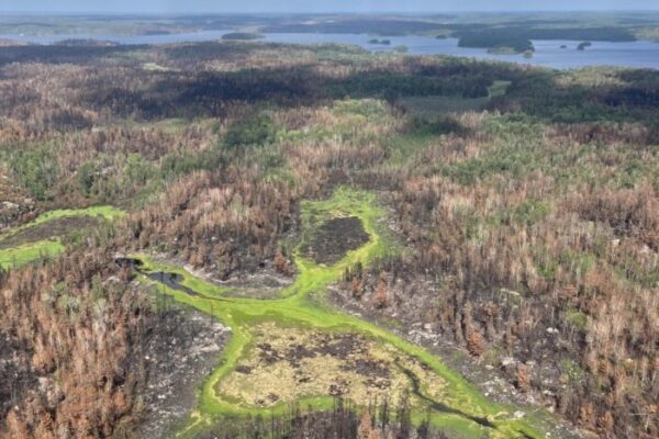
The Little Knife Fire originated from two Canadian wildfires that merged near Ottertrack and Knife Lake near the U.S./Canada border. Earlier this week, the fire crossed the border into the U.S.
The latest estimated size of the fire on the U.S. side is 6,000 acres. The Little Knife Fire has burned as far south as Ogishkemuncie Lake in Lake County, approximately four miles from the western edge of Seagull Lake.
At 9:40 a.m. Friday, Long said dense smoke and cloud cover have largely prevented aircraft from gathering updated acreage estimates, leaving the Forest Service with limited information on the fire’s size. The Forest Service did conduct an infrared flight on Thursday.
“The success of the flight was limited,” Long said Friday morning.
A replay of the meeting via WTIP’s Facebook Live is below:
Kalli Hawkins July 17, 2026