July wildfires leave a mosaic across northern Minnesota’s boreal forest
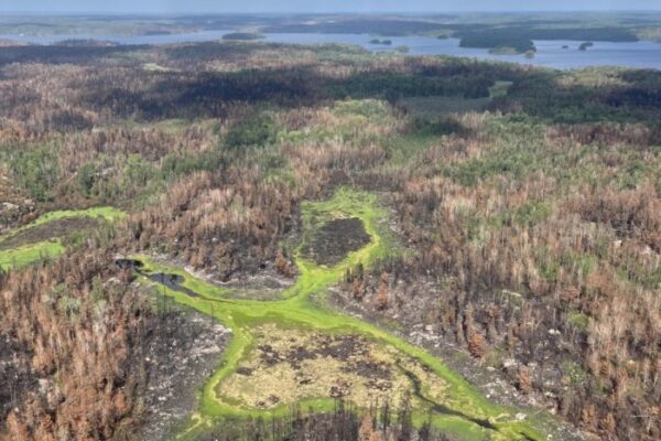
From the air, the footprint of this summer’s wildfires across northern Minnesota unfolds as a patchwork — stretches of charred boreal forest giving way to pockets of surviving green spruce and balsam and wetlands.
Aerial photos from the U.S. Forest Service offer a closer look at that pattern, including areas where the fire’s effects are less obvious. Moisture in wetlands and riparian areas helped protect some vegetation from the most intense heat, but stands in drier areas also appear largely unaffected.
The pattern reflects the varied ways fire moved across the boreal forest, though officials say exactly why some stands of trees survived while others burned remains a mystery.
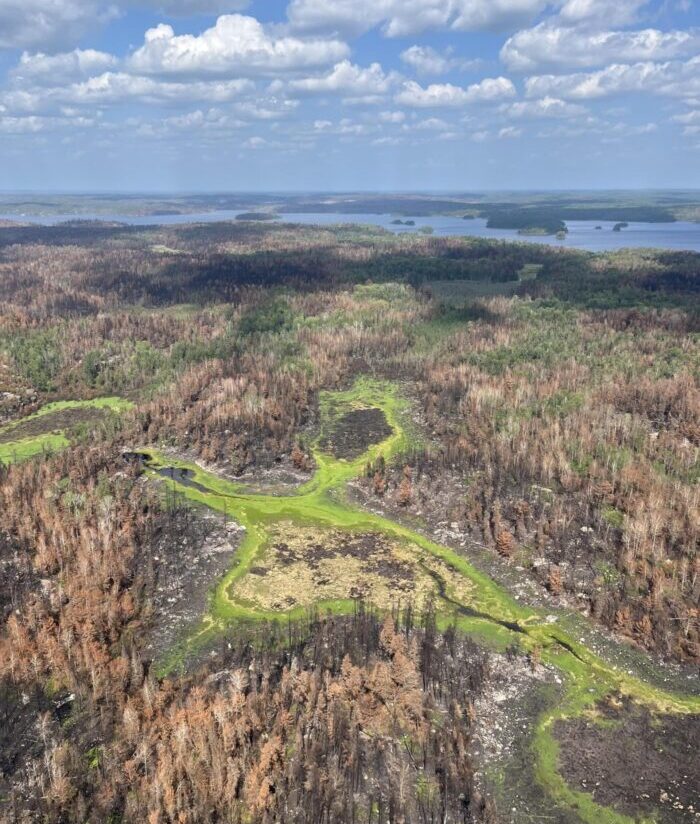
Wildfires often create a mosaic pattern in the forest as seen in this aerial photo over the Bear Trap Fire area in the Boundary Waters | U.S. Forest Service
Nearly two months after a widespread lightning event sparked wildfires across northern Minnesota, fire operations and response have entered a new phase. The National Incident Management Organization (NIMO), which has managed operations for several wildfires, including the Sioux, Bear Trap, and Thumb Fires, since July, will officially transfer command to Superior National Forest officials on Monday, Sept. 7.
The Sioux, Bear Trap, and Thumb fires, along with several other fires resulting from the July lightning event, have burned a combined 71,675 acres in the U.S. and Canada. As of Monday, Sept. 4, the Sioux, Bear Trap, and Thumb fires reached 97% containment, according to fire officials.
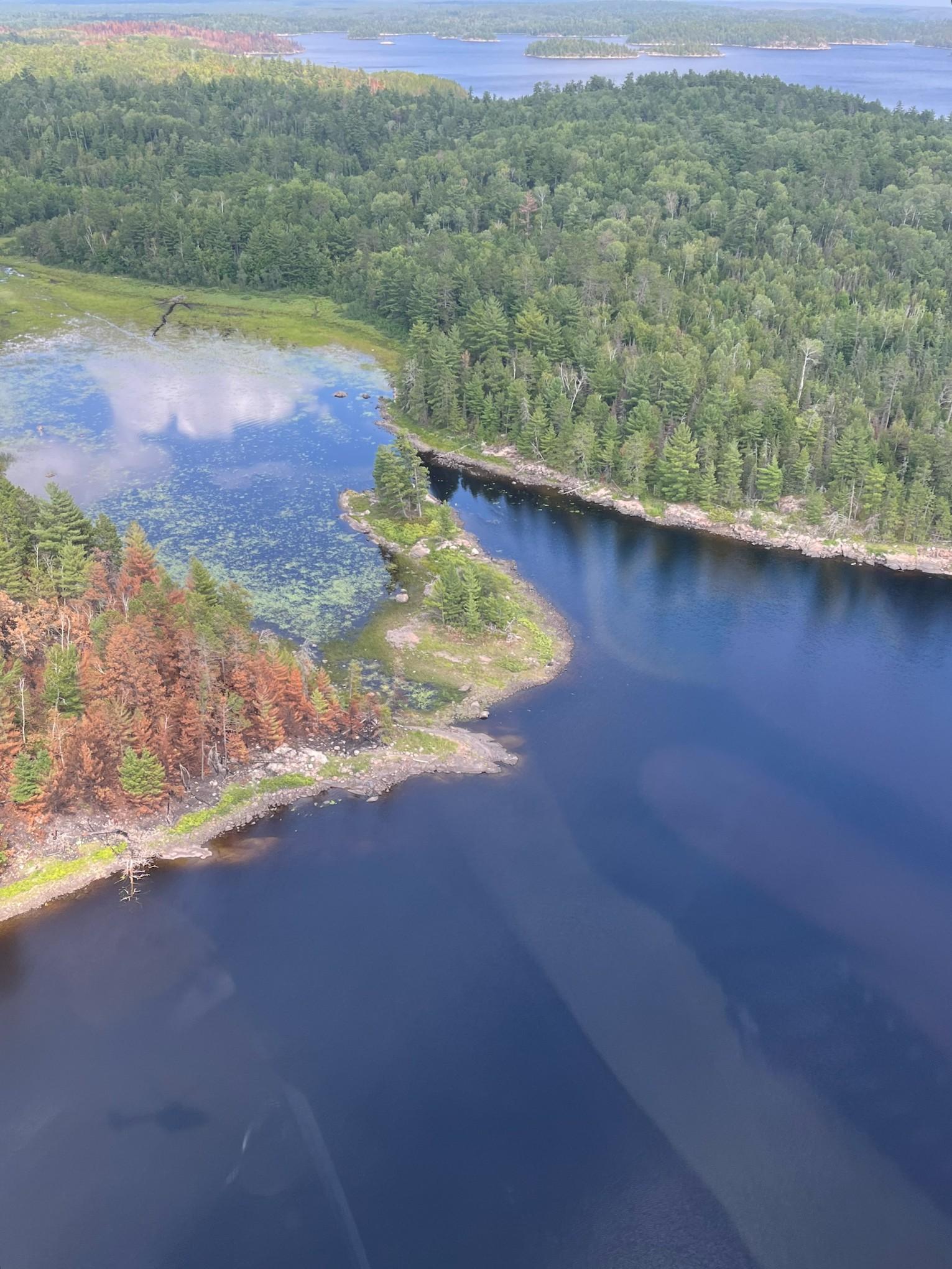
Aerial photo shows a patch of forest unaffected by the recent lightning-caused fires | Photo by U.S. Forest Service
Forest Service officials said Monday that 193 personnel remain assigned to the fires, but Sept. 4 will be the first day since early July with no operations needed in and around the Boundary Waters Canoe Area Wilderness.
Recent rain has dampened residual heat, with little to no fire behavior observed and no growth or smoke reported along the fire perimeters.
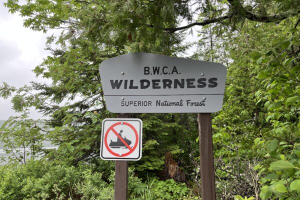
Within the BWCAW, approximately 150 of the 2,000 campsites have some level of wildfire impacts. Forest Service officials said visitors entering reopened areas should watch for wildfire hazards and expect some campsites and portages to remain closed.
On Tuesday, Sept. 8, several BWCAW entry points will reopen, including #12 Little Vermilion, #12A Lac La Croix, #13 Herriman Lake Trail, #22 Mudro Lake (restricted), #23 Mudro Lake, and #24 Fall Lake. Additional recreational areas will also reopen on the western edge of the BWCAW.
One area that will remain closed is the northern portion of the Echo Trail. Fire personnel and heavy equipment are finishing chipping and suppression repair work along the shaded fuel break, Forest Service officials said.
Kalli Hawkins September 5, 2026