Multiple new wildfires detected across Superior National Forest
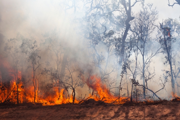
Several new wildfires have been reported within the Superior National Forest, bringing the total to 15 active fires throughout northern St. Louis County and Lake County as of Friday.
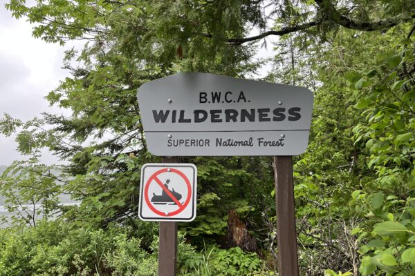
Wildfires throughout the Superior National Forest and within the Boundary Waters Canoe Area Wilderness (BWCAW) were discovered on Tuesday and Wednesday, with additional wildfires reported following aerial detections later in the week.
Updates on the wildfires as of Friday afternoon are below:
Camp Fire
Location: Approximately 8 miles north/northeast of the Cloquet Line near Ely
Size: Estimated 1-2 acres
Cause: Unknown
Status: This week, aerial resources dropped numerous loads of water on the wildfire. Additional firefighters were requested and joined the suppression efforts.
Bear Trap Fire
Location: Off the Bear Trap River and north of Sunday Lake in the BWCAW
Size: 2 acres
Cause: Lightning
Status: The fire is burning in a remote part of the BWCAW with very difficult access. It was reported as a single-tree lightning strike with wispy smoke and minimal fire activity. The fire is burning in mixed boreal forest vegetation. A single-engine air tanker made numerous water drops on the fire. Fire officials said the fire was not smoking following the water drops. Aerial resources will continue smoke checks and suppression efforts as needed.
Thumb Fire
Location: Between Thumb and Contentment Lake in the BWCAW
Size: 20 acres
Cause: Lighting
Status: The fire is burning in a remote portion of the BWCAW with difficult access. It was reported as a single-tree strike with minimal fire activity. Aerial resources have conducted water drops, and fire officials reported no smoke coming from the fire following the water drops.
Garden Lake Fire
Location: East of Winton in Lake County on the north side of Garden Lake
Size: Less than an acre (.35-acre)
Cause: Unknown
Status: Firefighters assessing suppression efforts
Wolfpack Fire
Location: In between Loon Lake and Echo Trail Road
Size: Less than an acre (.25-acre)
Cause: Unknown
Status: New fire discovered on Thursday.
Sioux Fire
Location: North of Echo Trail Road near the Wolfpack Fire
Size: Estimated size is 1.5 acres
Cause: Unknown
Status: New fire discovered on Thursday.
Nine Fire
Location: South of Crane Lake
Size: Estimated size is 4 acres
Cause: Unknown
Status: New fire discovered on Thursday.
Fools Gold Fire
Location: West of Norway Road and south of Lake Jeanette
Size: Estimated size is 1.5 acres
Cause: Unknown
Status: Discovered on Wednesday afternoon. Firefighters are conducting direct suppression on the fire. Aerial resources have conducted water drops on the fire.
Beaver Tail Fire
Location: Southwest of Crane Lake
Size: Estimated size is one acre
Cause: Unknown
Status: New fire discovered on Wednesday.
Ridge Fire
Location: Southwest of Crane Lake
Size: Estimated size is 2 acres
Cause: Unknown
Status: New fire discovered on Wednesday.
Chub Fire
Location: West of Crane Lake
Size: Estimated size is 10 acres
Cause: Unknown
Status: New fire discovered on Thursday.
Bug Creek Fire
Location: Northeast of Black Duck Lake
Size: Less than an acre
Cause: Unknown
Status: New fire discovered on Thursday.
Duck Fire
Location: Northeast of Black Duck Lake
Size: Less than an acre
Cause: Unknown
Status: New fire discovered on Thursday.
Creek Fire
Location: North of Black Duck Lake
Size: Estimated size is one acre
Cause: Unknown
Status: New fire discovered on Thursday.
614 Fire
Location: West of Hwy 53 and north of Ash Lake
Size: Less than an acre
Cause: Unknown
Status: New fire discovered on Thursday.
Superior National Forest officials said firefighting resources are assessing suppression efforts for the wildfires. Updates will be provided as more information is available on https://inciweb.wildfire.gov/. The public is asked to stay out of wildfire areas for the safety of the public and the firefighters.
Kalli Hawkins July 10, 2026