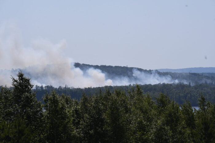
Visible smoke near Greenwood Lake caused by prescribed burn flare-up
A prescribed burn completed by the U.S. Forest Service in late May has flared up amid increasingly dry conditions across northern Minnesota, producing considerable visible smoke near Greenwood Lake.
The prescribed burn area is Sunfish Lake, an approximately 775-acre unit located south of Greenwood Lake off the Gunflint Trail.
Since the Forest Service conducted the prescribed burn on May 28 and 29, areas along the Greenwood Lake and Sunfish Lake shorelines have continued to have smoke, creeping and smoldering fire, and occasional open flames, Superior National Forest officials said.
On July 11 and 12, the fire flared up with more prominent smoke plumes visible in the area.
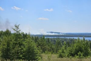
Smoke from Sunfish Lake prescribed burn area flareup seen near Greenwood Lake | Photo by Kalli Hawkins
Kyle Stover, the Gunflint District Ranger, told WTIP that the prescribed burn flare-up is expected with the recent red flag warnings, heat advisories, and dry conditions.
“We are monitoring it daily with engines, watercraft, and aircraft,” Stover said.
The Forest Service did conduct water bucket drops with a helicopter to cool hotspots within the unit boundary on July 11 and 12. The smoke is visible farther east near Devilfish Lake Campground and Esther Lake Campground up the Arrowhead Trail.
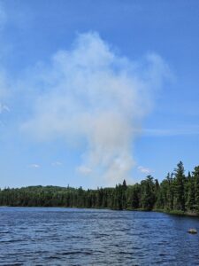
Smoke plume from Sunfish Lake prescribed burn area as seen from Esther Lake Campground | Photo by Kalli Hawkins
Stover said the fire remains within the boundaries of the original prescribed burn, and crews are monitoring the situation daily.
All private property and fire-unit boundaries remain secure, with heat limited to interior pockets and lake edges. “Patrols will continue until the prescribed fire is completely out,” Superior National Forest officials said.
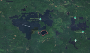
Location of Sunfish Lake (in red) south south/east of Greenwood Lake
Kalli Hawkins July 12, 2026