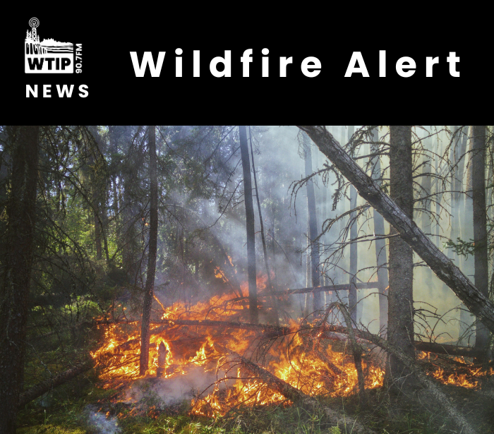
Wildfires prompt BWCAW closures, forestwide campfire restrictions in Superior National Forest
A series of wildfires in the Superior National Forest and Quetico Provincial Park has prompted the U.S. Forest Service to close numerous lakes, campsites and portages in the Boundary Waters Canoe Area Wilderness. The agency also announced forestwide campfire restrictions that take effect at 12:01 a.m. Sunday, July 12.
BWCAW Closures
The following lakes are affected by the closure:
- Ottertrack Lake
- Little Knife Lake
- Amoeber Lake
- Topaz Lake
- Cherry Lake
- Hanson Lake
- Ester Lake
- Rabbit Lake
- Clam Lake
- Ashdick Lake
- Swamp Lake
- Gijikiki Lake
- Rivalry Lake
- Lake of the Clouds
- Lunar Lake
The Forest Service is asking visitors to avoid the area. Visitors traveling on the Canadian side of the lakes may still access portages. Rangers will begin notifying visitors already within the closure area on Sunday, July 12.
For maps and more information, visit: https://fs.usda.gov/r09/superior/alerts
Campfire Restrictions
The restrictions prohibit igniting, building, maintaining, attending or using a fire or campfire, including charcoal grills and barbecues, as well as coal- and wood-burning stoves. Gas and propane camp stoves are still permitted throughout the forest and within the BWCAW.
“We continue to coordinate with the Minnesota DNR, Bois Forte and Grand Portage to avoid confusion across jurisdictions. We want the recreating public to be safe as they enjoy the Forest,” stated Drew Stroberg, Superior National Forest Supervisor (Acting).
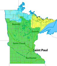
July 11 Fire Danger | Graphic by Minnesota DNR
As of July 11, fire danger in the forest was rated “very high,” according to the Forest Service. Officials attributed the conditions to dry and windy weather.
On-going Fires
The forest currently has 17 active wildfires, including four within the BWCAW. The largest, the Thumb Fire, has grown to 143 acres and is located between Thumb and Contentment lakes. The area is remote and difficult to access. U.S. and Canadian aircraft are conducting water drops on the fire.
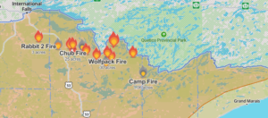
The remaining 16 fires range in size from 0.1 acre to 25 acres and are located north or northwest of Ely.
In an update, the Forest Service said firefighters “have been making good progress on the fires” and continue to suppress them, strengthen containment lines and develop ongoing suppression strategies.
The agency also announced that the Minnesota Incident Command System team will assume command of the Creek, Chub, Camp 5/Duck, Bug Creek, Ridge, Marion Creek, Beaver Tail, Echo 2 and Nine fires effective July 12.
The Forest Service reminded the public that drones are prohibited near wildfire operations. If a drone is detected, all supporting air operations must stop. Drones are also prohibited in federally designated wilderness areas.
A storm system moved through the region July 6, bringing lightning but little rain. Several small wildfires were reported the following day, and additional fires continue to be detected.
WTIP will continue to provide updates on BWCAW closures, campfire restrictions and wildfire suppression efforts.
More information is below:
Superior National Forest website https://www.fs.usda.gov/r09/superior/alerts
Minnesota Incident Command System website at www.mnics.org
For statewide fire restriction information: https://mnics.org
Josh Hinke July 11, 2026